GPS mapping our property
When Pete and I talk about the property and what we want to do where, we often sketch little maps. Its amazing how different our two perceptions of the property are. It is an odd shape because it was originally a square, with a sliver of our neighbour's property added a few years ago to make it more of a lower case 'b' shape. We can never quite agree on the exact shape, although we do have the survey map from when we bought it. It would be very useful to know accurate distances and areas when it comes to organising grazing areas, running irrigation and fencing, and ordering the right amount of seed for cultivation. This is all very difficult without a more detailed map, but I was worried that a good map would be difficult and/or expensive to obtain. Fortunately I was wrong......
The other day I dug out Farmer Pete's fishing GPS unit, its just a little Garmin GPS60. We both tend to hoard things, so I was also able to find the original software and eventually located the data cable. Farmer Pete had never really used the software, but after a bit of fiddling, I was able to download all the data from the GPS and had a picture of every fishing trip he's taken the GPS on :) After reading the manual, I was pretty sure it would help us to map the property. (Farmer Pete is of the opinion that as he does all the hard manual labour around here that I'd better sort out all the technical/IT stuff, otherwise all I'd be good for is the cooking :), so I suck it up and do my best, but this is not a natural aptitude for me! Usually if I fiddle around enough, something works!).
So on the next visit to the property, we took the GPS and pushed the 'mark' button at strategic points. We also walked some of our boundary fences and drove on a few of the internal tracks. I didn't want to do the entire property until I was sure that the map would be useful. When we got home I downloaded the data and had a play with the mapping software. I was very excited to find that I can save each mark as a different point on the map - like "yards", "gates", "fence posts". I can map out all the tracks and boundary fences, and read off the distances between different points. I can also put a boundary around several points and read off the area, so if I walk around the cultivation areas I'll be able to measure the area required for seeds.

I found it very useful as the property being on a hill makes it really hard for me to get perspective. One of the tracks that we drove down I was sure was curved, but on the map it is clearly a direct line between the hay shed and the stock yards. This is very useful information. Also, the GPS records elevation, so we can work out the highest point and amount of fall in various areas, it has been very interesting.
You can buy quite expensive mapping software or pay someone to come and do this for you, but with a bit of computer knowledge and a relatively cheap GPS unit, you can do it yourself quite easily. I am looking forward to taking the GPS with us every time we go out and gradually building up the map to include every point of interest on the property.
Have you tried using a GPS to map your property?
 |
So on the next visit to the property, we took the GPS and pushed the 'mark' button at strategic points. We also walked some of our boundary fences and drove on a few of the internal tracks. I didn't want to do the entire property until I was sure that the map would be useful. When we got home I downloaded the data and had a play with the mapping software. I was very excited to find that I can save each mark as a different point on the map - like "yards", "gates", "fence posts". I can map out all the tracks and boundary fences, and read off the distances between different points. I can also put a boundary around several points and read off the area, so if I walk around the cultivation areas I'll be able to measure the area required for seeds.

I found it very useful as the property being on a hill makes it really hard for me to get perspective. One of the tracks that we drove down I was sure was curved, but on the map it is clearly a direct line between the hay shed and the stock yards. This is very useful information. Also, the GPS records elevation, so we can work out the highest point and amount of fall in various areas, it has been very interesting.
You can buy quite expensive mapping software or pay someone to come and do this for you, but with a bit of computer knowledge and a relatively cheap GPS unit, you can do it yourself quite easily. I am looking forward to taking the GPS with us every time we go out and gradually building up the map to include every point of interest on the property.
Have you tried using a GPS to map your property?
Share this
Recent Posts


eBooks By Eight Acres
View all


Related Posts
-
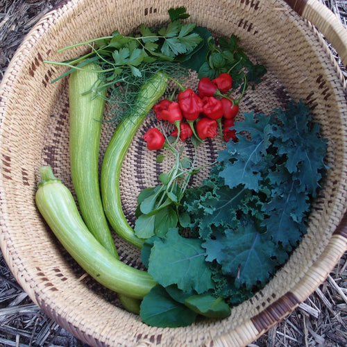
5 tips for growing your own veggies to save on your food bill
While mindlessly scrolling Facebook I saw a post which was an article from 2017 that had been reshared. The title of ...
-
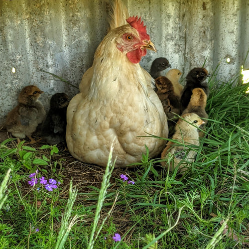
Hatching chicks - incubator vs mama hen
Over the years I've hatched hundreds of chicks using an electric incubator, but I never used a clucky hen to hatch ch...
-
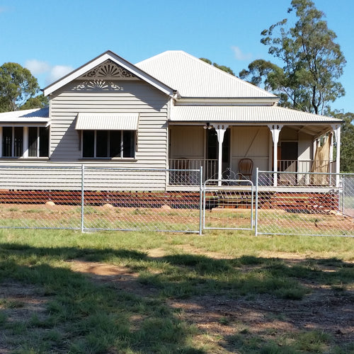
Keeping our house cool in summer
As Australian summers seem to be getting hotter and electricity prices are increasing, we need to look for passive te...
-
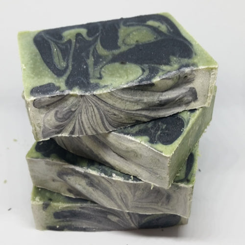
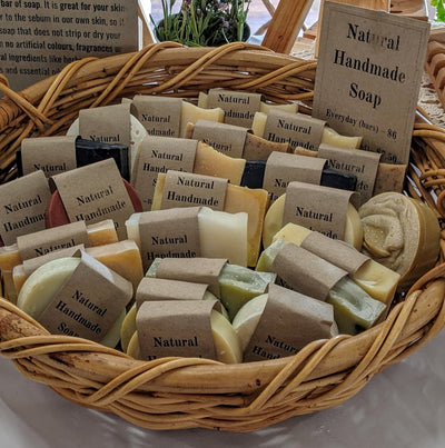
Soapmaking resources and books
Soapmaking Websites that I Love Modern Soapmaking Soap Queen Classic Bells Soap Making Resource Lovin Soap Soapmak...
-

Pandemic prepping for non-preppers
In case you hadn't noticed... we are now dealing with a global pandemic of COVID-19. As countries are gradually closi...


Leave a comment